Science Advisor
Gold Member
- 9,747
- 11,967
Mid Saturday morning and the radar was telling the story, a large and long storm front line was stretching across SE Australia and was very lightning active. Said to my wife, Cindy, pack an overnite bag, we're going stormchasing and probably won't be home till Sunday nite.
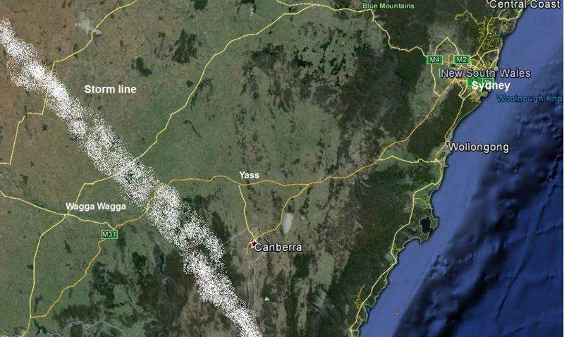
300km or so of driving to the SW of Sydney saw us intercepting the storm line between the towns of Yass and Wagga Wagga ... Location map ...
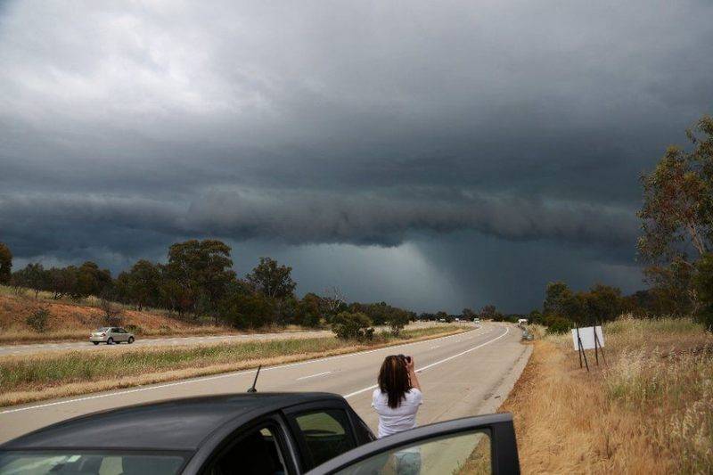
This is what we were greeted with ...
and
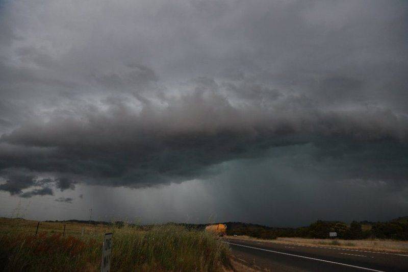
by the time we got there ( 3 hrs of driving) the system had become very outflow dominant with the amount of lightning strikes decreasing. Outflow dominant is where the storm cell(s) is/are no longer sucking air and moisture into them to cause them to build in size or stay strong. As the inflow comes to a stop, it then reverses and becomes outflow and the system will start to collapse.
The outflow winds can be quite strong with 70 - 120 km/hr gusts being common.
The wind and torrential rain hit us so we moved further north to get ahead of it and do more photos.
Over the next several hours it died out to just become some heavy rain showers
With no other activity occurring for the day, we traveled to Goulburn, ~ 100km NE of Yass and spend the nite there. The arrival of Sunday showed that the storm prognosis still looked good. We just had 4 - 5 hours to fill in till things fired up in mid afternoon. The radar started showing activity a 100km or so to the north of us and again the chase was on
Finally could see the action up ahead so dropped off the main road to a small town of Tahmor where we could see the main system coming off the mountains sections of this were growing then dying off only to reform as new cells to the SE of Tahmor
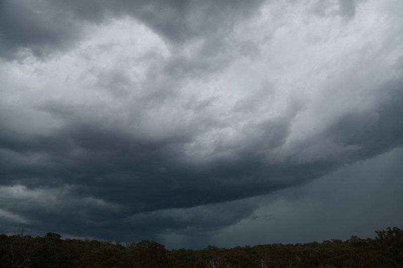
new cell forming to the SE with some good convection happening ...
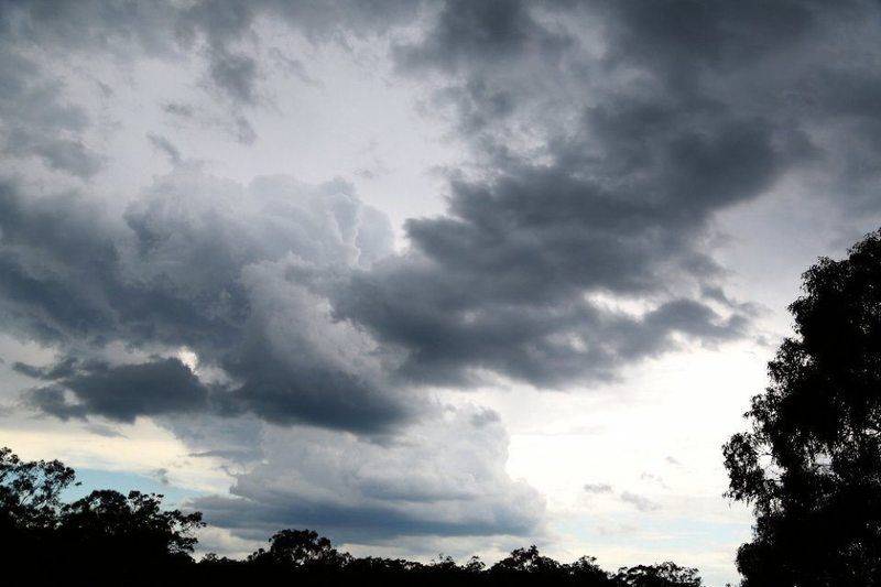 After surviving high winds, rain and hail from the cells coming off the mountains we headed further NE and into the inner west suburbs of Sydney. The suburb of Bankstown ... choosing my fav viewing spot in that area was great choice.
To the west another large cell coming in and quite lightning active
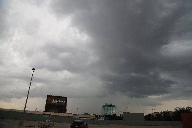
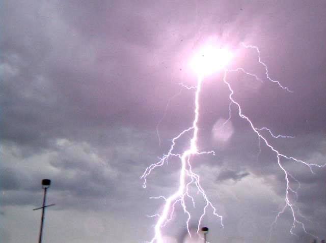
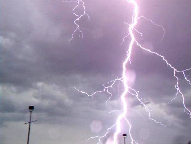
and pretty much overhead another cell starting spitting intense Staccato CG ( cloud-ground) bolts within a few 100metres to 1km of us. brilliant flashes and instant sharp cracks of thunder.
A couple of frames from the video of 2 of the strikes ...
All in all, an awesome 2 days of chasing !
enjoy
Dave
300km or so of driving to the SW of Sydney saw us intercepting the storm line between the towns of Yass and Wagga Wagga ... Location map ...
This is what we were greeted with ...
and
by the time we got there ( 3 hrs of driving) the system had become very outflow dominant with the amount of lightning strikes decreasing. Outflow dominant is where the storm cell(s) is/are no longer sucking air and moisture into them to cause them to build in size or stay strong. As the inflow comes to a stop, it then reverses and becomes outflow and the system will start to collapse.
The outflow winds can be quite strong with 70 - 120 km/hr gusts being common.
The wind and torrential rain hit us so we moved further north to get ahead of it and do more photos.
Over the next several hours it died out to just become some heavy rain showers
With no other activity occurring for the day, we traveled to Goulburn, ~ 100km NE of Yass and spend the nite there. The arrival of Sunday showed that the storm prognosis still looked good. We just had 4 - 5 hours to fill in till things fired up in mid afternoon. The radar started showing activity a 100km or so to the north of us and again the chase was on
Finally could see the action up ahead so dropped off the main road to a small town of Tahmor where we could see the main system coming off the mountains sections of this were growing then dying off only to reform as new cells to the SE of Tahmor
new cell forming to the SE with some good convection happening ...
To the west another large cell coming in and quite lightning active
and pretty much overhead another cell starting spitting intense Staccato CG ( cloud-ground) bolts within a few 100metres to 1km of us. brilliant flashes and instant sharp cracks of thunder.
A couple of frames from the video of 2 of the strikes ...
All in all, an awesome 2 days of chasing !
enjoy
Dave
