- 9,726
- 11,822
This session started off as a lot of large and reasonably individual cells but as they
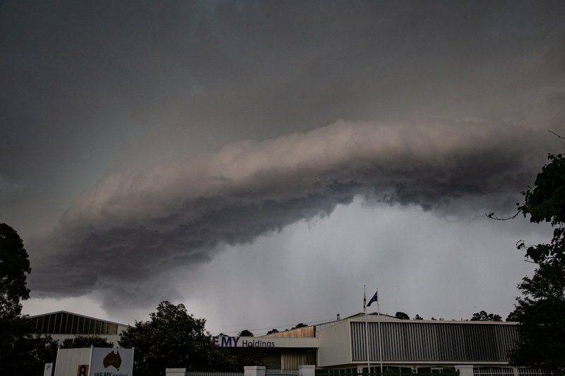
merged, they morphed into a 800 kilometre long storm line that stretched across the eastern side of
the state of NSW ( New South Wales).
Intense CG ( Cloud to Ground) lightning as it approached from the west ... photos taken from home
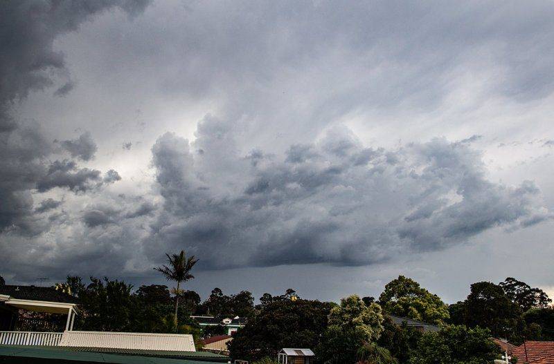
Photo 1 is looking to a storm line over nthrn Sydney ~ Hornsby region and moving roughly SE, in our general direction.
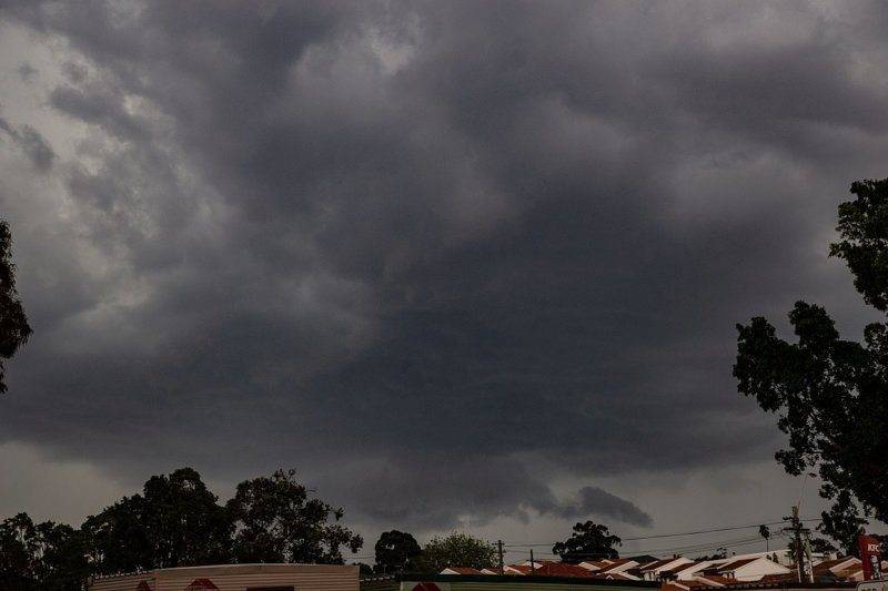
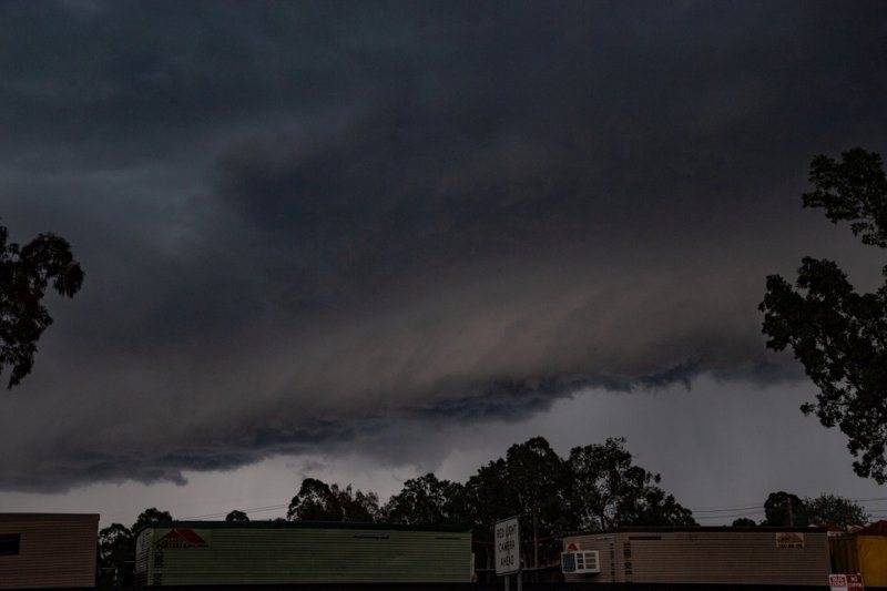
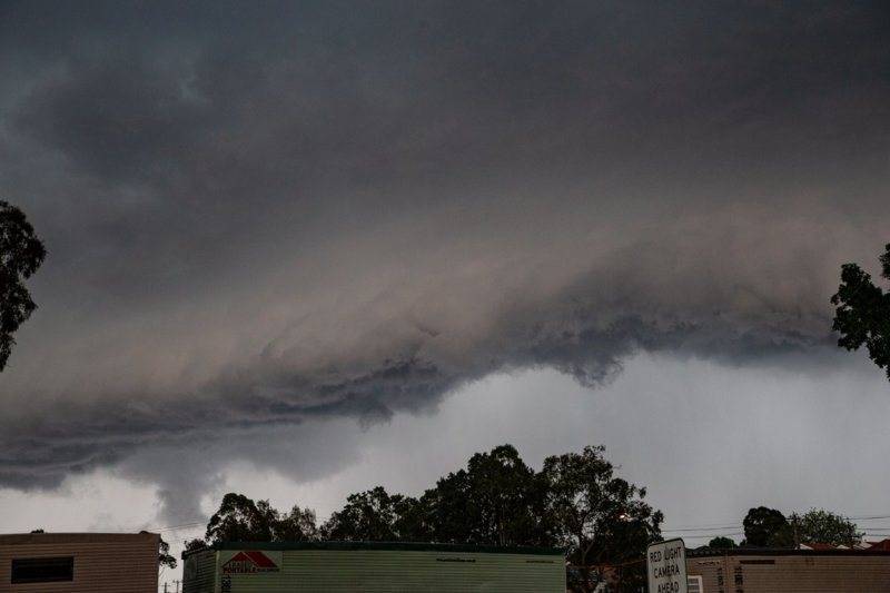
It merged with the bigger cell coming in from the west ... photos show it as it approached ( shown on the rest of the images) ...
 The day was rounded off with a gathering of storm chasers at my place for food and drinkscheers
Dave
merged, they morphed into a 800 kilometre long storm line that stretched across the eastern side of
the state of NSW ( New South Wales).
Intense CG ( Cloud to Ground) lightning as it approached from the west ... photos taken from home
Photo 1 is looking to a storm line over nthrn Sydney ~ Hornsby region and moving roughly SE, in our general direction.
It merged with the bigger cell coming in from the west ... photos show it as it approached ( shown on the rest of the images) ...
Dave


